.jpg)
Traffic Insights
A smarter way to understand car traffic —across every street, at any hour.
Traffic Insights provides city planners with an intuitive, overview of traffic across all urban streets. Using high-resolution positional data from connected vehicles, it turns complex traffic flows into actionable insights—accessible via a single interactive map.
Real-time, scalable traffic data to optimize infrastructure decisions
Traditional traffic measurement methods are time-consuming, costly, and often too limited in scope. They typically require physical sensors, long lead times, and can't easily be used to understand shifting conditions like seasonal changes or temporary closures. For city planners, this means working with outdated or incomplete data, delaying decision-making and limiting the ability to proactively manage mobility challenges.
Urban areas face growing traffic congestion, capacity bottlenecks, and demand for sustainability, but without good data, it’s hard to prioritize interventions effectively. There's also a communication gap—between planners, citizens, and policymakers—due to lack of transparent, visual data representations.
Traffic Insights addresses all these issues, empowering planners to analyze historical conditions, evaluate changes, and engage stakeholders with clarity and precision.
%201%20(1).jpg)
Turn vehicle data into actionable insights
Traffic Insights stands out by complete the need for multiple location-specific sensors with a full-network view, using GPS-derived traffic flow and speed data. Unlike static methods, it allows time travel—users can "rewind" to historical periods and instantly access past patterns.
The tool’s standardized, high-quality visual outputs reduce the barrier for non-experts to grasp complex patterns, improving collaboration between departments and enhancing communication with citizens and politicians alike.
Visualise, Analyse, Act
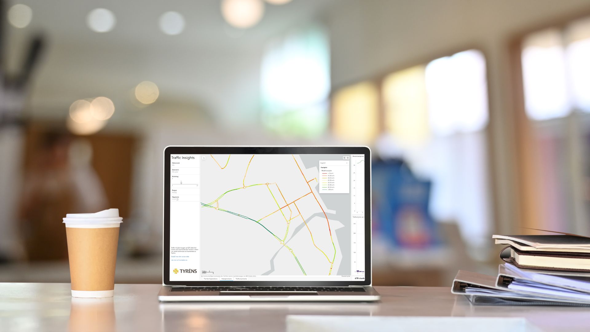
Traffic Insights is a web-based analytics tool that visualizes traffic flows, speeds, and capacity issues across a city’s roads. It relies on large-scale positional data from connected vehicles, enabling planners to view how traffic behaves—hour by hour,day or night. Users can zoom into specific intersections or corridors, and analyse historic traffic patterns—whether it’s last summer’s congestion or the effects of a recent road closure. The platform supports strategic planning with insights that can be used in noise investigations, traffic safety plans,capacity studies and much more. Delivery is an interactive web map and, if applicable, GIS files tailored to each project. Traffic Insights supports both one-time analyses and ongoing subscriptions, adapting to any city’s or project’s scale.

1000
Measurements used to validate data accuracy
20
Major case studies from 2022–2025 across Sweden